
The City of Gastonia will hold a public hearing on May 3, 2002, to obtain feedback from residents about its plan to redraw maps in various wards in the City. The process is being done to comply with federal and state mandates and to balance the population growth that our City has experienced during the past 10 years.
DATE: Tuesday, May 3
TIME: 6 p.m.
LOCATION: Gastonia City Hall, 181 S. South Street, Gastonia, NC
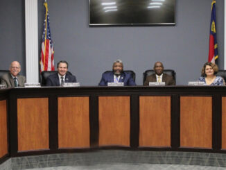
“The public hearing will offer residents the opportunity to review the proposed plans for redistricting and give their feedback before any decisions are made,” said Assistant City Manager Quentin T. McPhatter. “We want the public to understand the redistricting process and what changes will be made.”
What is Redistricting?
The City of Gastonia is in the process of redrawing district boundaries now that the U.S. Census has been completed. We are doing this to make sure that voting power and representation in each ward across our City is based on the most recent population data. The goal is to balance the population growth that our City has experienced during the past 10 years.
Why is the City redrawing ward maps?
Redistricting is mandatory under the Equal Protection Clause of the 14th Amendment to the United States Constitution and is the federal and state mandated process for communities with district based voting and recommended for others (N.C.G.S. 160A-23) to ensure that representation is distributed equally across the community. The increase in population has caused some wards to have either an increase or decrease in residents compared to other wards. Making sure that all wards maintain a balance is important.
How is the City redrawing ward maps?
We have partnered with Centralina Regional Council to make the process seamless and easy to understand. This process started in February 1 of this year and will end on May 3. We have worked together to analyze Census 2020 data, gather local GIS data, and review scenarios that will be ideal for the size of each ward. Through this process, we have determined that each ward should have about 13,402 residents.
Redistricting Scenarios
We are considering two scenarios that will redraw the maps for the City’s wards (the borders for Wards 1, 2, 3, 4, 5 and 6) will all change. The new maps will represent a population that is close to the proper size for each ward. This means about 13,402 residents in each ward. Residents can view an interactive map that shows existing wards, Scenario A, and Scenario C.